
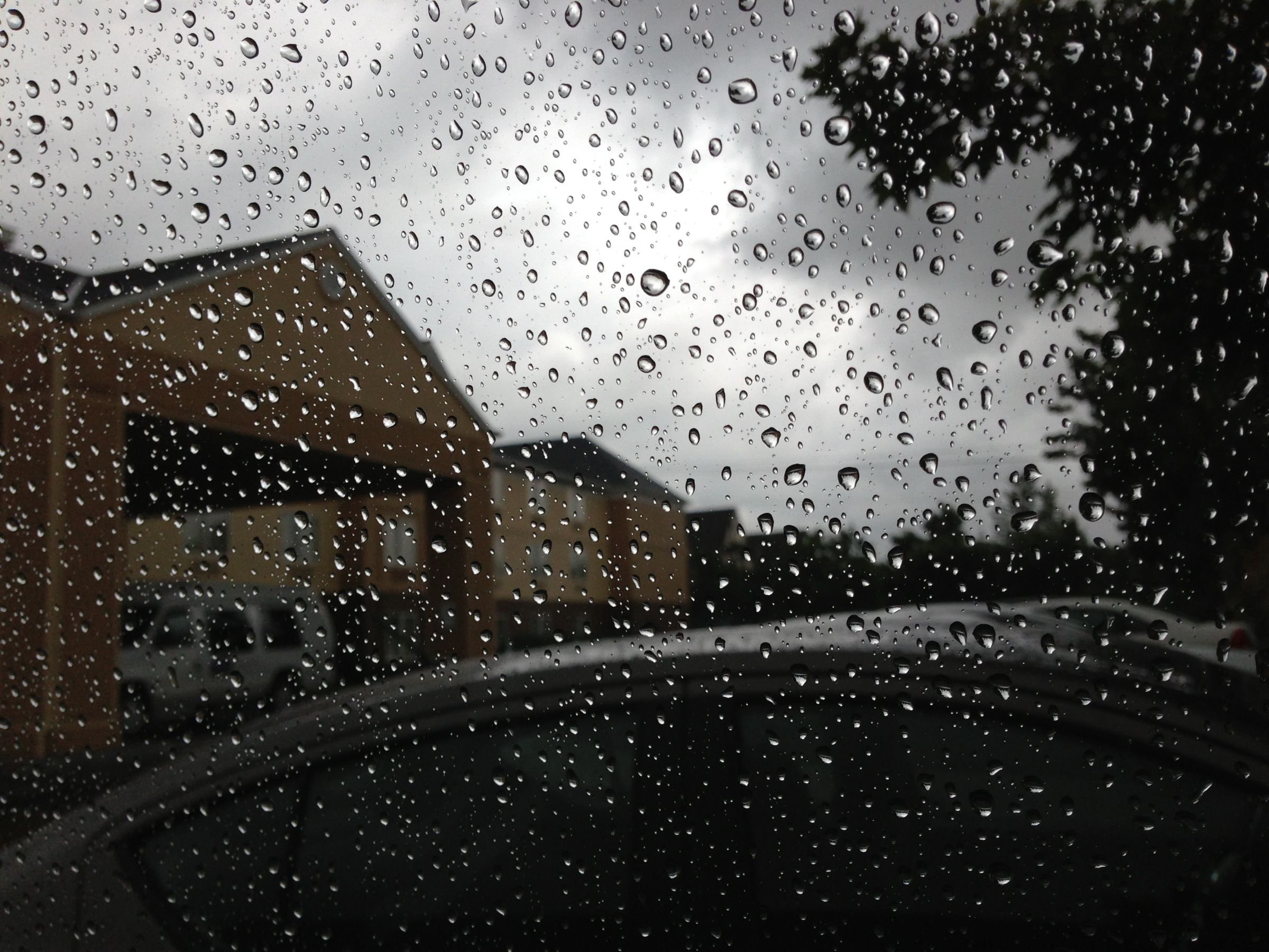
BEND, OR -- A significant storm is predicted for Central and South Central Oregon, over the next few days, and the Oregon Department of Transportation says it could cause problems for drivers.
While it's expected to be mainly a rain and wind event, ODOT's Peter Murphy says it’s the first sign that winter is coming. "It’s time for us to simply get ready. We need to prepare our cars, we need to prepare our heads, we need to kind of wrap around the season’s changing. There’s lots of stuff people can do; so, take a look at your car and see if there are things you can do fairly quickly." Those things include checking windshield wipers and keeping a full gas tank, in case you get stuck at a prolonged road closure. He tells KBND News, "What you can do as a motorist is simply take more time; leave earlier, because that’s what’s going to help you avoid getting into real trouble. If you’re going a little bit sooner than normal, you’re not quite as heavily on the gas pedal, you’re looking out a little more. It’s the time of year we need to put our winter hat on and take a good look around."
Forecasters say the worst weather will hit the coast and southern Oregon region, but the High Desert is under a high wind warning from 3 p.m. Thursday through 3 p.m. Friday, with gusts up to 5 MPH. And, the region could see it's first substantial rainfall of the season. And, Murphy says that oil and dirt that's had all summer to soak into local roadways could cause issues. "With a rainfall like this, it’s going to kick up some of that muck that’s on the roadbed. So, motorists need to be aware they won’t have quite the same traction they’re accustomed to; and, they need to drive accordingly. That means just being careful around curves, looking around for stuff they don’t expect, and in some cases we’re going to have trees down, it looks like."