
BEND, OR -- Bend still has around 30" of snow on the ground, and it's not done with us yet. National Weather Service Meteorologist John Peck says more heads toward Central Oregon next week, "The next system arrives Tuesday afternoon, and through early Thursday, we're looking at another five to maybe seven inches." But, this time it should accumulate much more slowly, compared to the last front, "It'll be kind of a slow and steady snow; not the inch per hour for 20 hours that we had with the last event when basically it snowed really hard the first day and that was an inch an hour, plus."
Peck says the 12.5" received in 24 hours starting February 24 is the fifth most recorded in a single day by the city of Bend. The most snow fall was in 1973, when Bend saw over 24" in a single day. And, Peck points out, it's good for the region. "Prior to this storm, we were about 21" below normal for this time of year, and we're obviously not behind anymore. So, that's caught up; but the big story is what's going on in the mountains. Previously, the Cascades were sitting at about 75 or 80% of normal [snow pack] for this time of year, now they've come up to right around normal."
After next week's snow event, Peck says the warm-up should be gradual, which will allow all the snow to melt slowly enough it can refill area reservoirs. "Between 25" and 30" on the ground, the water equivalent is 2.5 to 3", so obviously you don't want all of that to melt at one time. With relatively warm daytime highs in the 40s, and overnight lows near freezing, will help to promote that orderly melt-off."
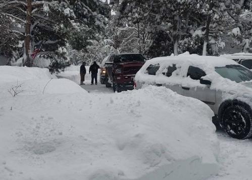
Photo: courtesy Kati Magana of Bend