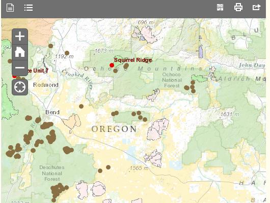
BEND, OR -- The Forest Service has launched a new interactive map to help Central Oregonians track when and where prescribed burns are happening.
Jean Nelson Dean with the Deschutes National Forest tells KBND the online mapping system was designed to be user-friendly for the general public. "It covers the Ochoco and Deschutes National Forest, Crooked River National Grassland and the Prineville BLM and it’s all our prescribed burns. You can look at the map and see what’s very active, what’s burning that day, what’s coming up or has just been completed, and somewhat what’s down the line for what we’re looking at."


