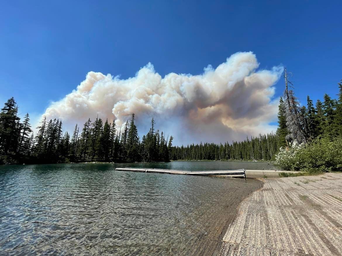
BEND, OR -- The Deschutes County Sheriff's Office released a new list of areas impacted by the Cedar Creek Fire, burning east of Oakridge and west of Sunriver. As of Wednesday morning, the fire was considered 12% contained 18,143 acres. However, fire managers say it's been very active.
Wednesday afternoon, DCSO said released the following list. Click HERE for an interactive map.
Level 3 - GO NOW:
- Areas east of the Lane County/Deschutes County Line, North of the Klamath County/Deschutes County line, northwest side of Wickiup Reservoir, the area surrounding Crane Prairie Reservoir and south of 6 Lakes Trail and Lava and Little Lava Lakes to include:
- Cultus Lake Lodge and Campground
- Little & Big Cove Boat-In Campground
- West Cultus Boat-In Campground
- Little Cultus
- Cultus Mountain
- Crane Prairie Reservoir
- Brown's Mountain
- Lemish Butte
- Ketchketch Butte
- Johnny Lake
Level 2 - BE SET
- North of the line delineating Township 20S from Township 19S, east of the Lane County/Deschutes County line, south of 6 Lakes Trail, and west of Cascade Lakes Highway to include
- Lucky Butte
- Williamson Mountain
- Winopee, Snowshoe, Senoj, Big Finger, Upper Snowshoe, Long, Puppy, Leech, Goldeneye, and Lucky Lakes
- The northwest side of Davis Lake
Level 1 - BE READY
- The area surrounding Lava and Little Lava Lakes
Deschutes County 911 will use wireless emergency alerts (WEA) to reach visitors in the evacuation areas that may not be signed up for Deschutes Alerts.
7:15 p.m. UPDATE: The area around South and North Twin Lakes west of Forest Road 4262including Twin Lakes Lodge, Gull Point Campground, North Wickiup Campground and Sheep Bridge Campground have all been placed on Level 2 evacuation status.


